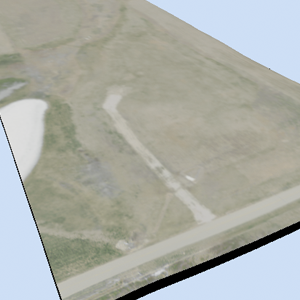
USGS Terrain Data in OpenSCAD
Valkyrie’s parents are working to design a home and landscape on their rural property: as a gift to them we created a 3D model of the lot using elevation data from the USGS and satellite imagery from Google Maps.